Redistricting's Long Shadow: How Maps Decide Elections Before Voters Do
Every decade, the redrawing of electoral maps reshapes political power — often determining winners and losers long before any ballot is cast.

In 1812, Massachusetts Governor Elbridge Gerry signed a bill that redrew the state's senate districts to favor his Democratic-Republican Party. One of the new districts was so contorted that a newspaper cartoonist drew it as a salamander, and the term "gerrymander" entered the American lexicon. More than two centuries later, the practice Gerry helped pioneer has become one of the most powerful and least understood forces in American politics.
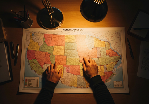
Every ten years, after the U.S. Census counts the population, congressional and state legislative districts must be redrawn to reflect changes in where people live. The process is called redistricting, and in most states, it is controlled by the very legislators whose careers depend on its outcome.
How the Lines Get Drawn
The mechanics of redistricting vary by state, but the basic framework is consistent. Census data determines how many congressional seats each state receives. State legislatures — or, in a handful of cases, independent commissions — then draw the boundaries of those districts. Federal law requires districts to be roughly equal in population, and the Voting Rights Act of 1965 prohibits maps that dilute the political power of racial minorities.
Beyond those constraints, however, map-drawers have enormous discretion. They can "pack" opposition voters into a small number of districts, giving them overwhelming victories in those seats while spreading their own supporters more efficiently across the remaining ones. They can "crack" opposition communities, splitting them across multiple districts to prevent them from forming a majority anywhere.
"In most democracies, voters choose their representatives. In America, it is often the representatives who choose their voters."
The results can be staggering. In the 2018 midterm elections, Democratic candidates for the U.S. House received approximately 54 percent of the national popular vote in contested races, yet the seat distribution did not proportionally reflect that margin — a gap attributable in significant part to the way district lines had been drawn after the 2010 census.
Technology's Sharp Edge
What sets modern gerrymandering apart from Gerry's crude cartography is the precision of the tools available. Sophisticated mapping software can analyze voter data at the household level, drawing lines with surgical accuracy. Algorithms can generate thousands of potential maps in minutes, optimizing for partisan advantage with a degree of precision that would have been unimaginable even 20 years ago.
The 2010 redistricting cycle demonstrated the power of this technology. The Republican State Leadership Committee's "REDMAP" project invested heavily in state legislative races, flipping key chambers just in time for redistricting. The maps that resulted locked in Republican advantages in states like Wisconsin, Ohio, and North Carolina for the entire decade that followed, regardless of shifting voter preferences.
Democrats, for their part, have used the same techniques where they hold power. Maryland's congressional map, drawn by Democrats, was widely cited as one of the most gerrymandered in the country before it was redrawn. Illinois's post-2020 maps were similarly criticized for prioritizing partisan advantage over fair representation.
The Courts Step In — and Step Back
Legal challenges to gerrymandered maps have a long and uneven history. The Supreme Court established in Baker v. Carr (1962) that redistricting disputes were justiciable — meaning courts could hear them. Subsequent decisions addressed racial gerrymandering, holding that race cannot be the predominant factor in drawing district lines.
But partisan gerrymandering proved a harder target. In Rucho v. Common Cause (2019), the Supreme Court ruled 5-4 that partisan gerrymandering claims present political questions beyond the reach of federal courts. Chief Justice John Roberts, writing for the majority, acknowledged that "excessive partisanship in districting leads to results that reasonably seem unjust," but concluded that the Constitution provides no judicially manageable standard for resolving such claims.
The decision effectively closed the door on federal judicial intervention, leaving reform efforts to state courts and state-level initiatives.
The Commission Movement
In response to legislative self-dealing, a growing number of states have turned to independent redistricting commissions. Arizona established one by ballot initiative in 2000. California followed in 2008 and 2010. Colorado, Michigan, and Virginia have since adopted their own versions, each with different structures and degrees of independence.
The results have been mixed but encouraging. Studies have found that commission-drawn maps tend to be more competitive and less biased toward either party than those drawn by legislatures. They are not immune to criticism — commissioners can still bring their own biases, and the selection process for commissioners matters enormously — but they represent a structural check on the most egregious abuses.
What Comes Next
The 2030 redistricting cycle will be the next major test. Census data, expected to be released in 2031, will trigger a new round of map-drawing in every state. The question is whether the trend toward independent commissions will continue, or whether legislatures will resist surrendering their power over a process that so directly affects their survival.
Technology will continue to evolve, making gerrymandering both easier to execute and easier to detect. Transparency tools that allow the public to compare proposed maps against algorithmically generated alternatives are already changing the debate, making it harder for map-drawers to claim that their choices were made in good faith.
The fundamental tension, however, remains unchanged. Redistricting is simultaneously a technical exercise and a profoundly political one. Until the process of drawing maps is fully separated from those who benefit from the outcome, the shadow of gerrymandering will continue to fall over American elections — deciding winners and losers before a single vote is cast.
Written by